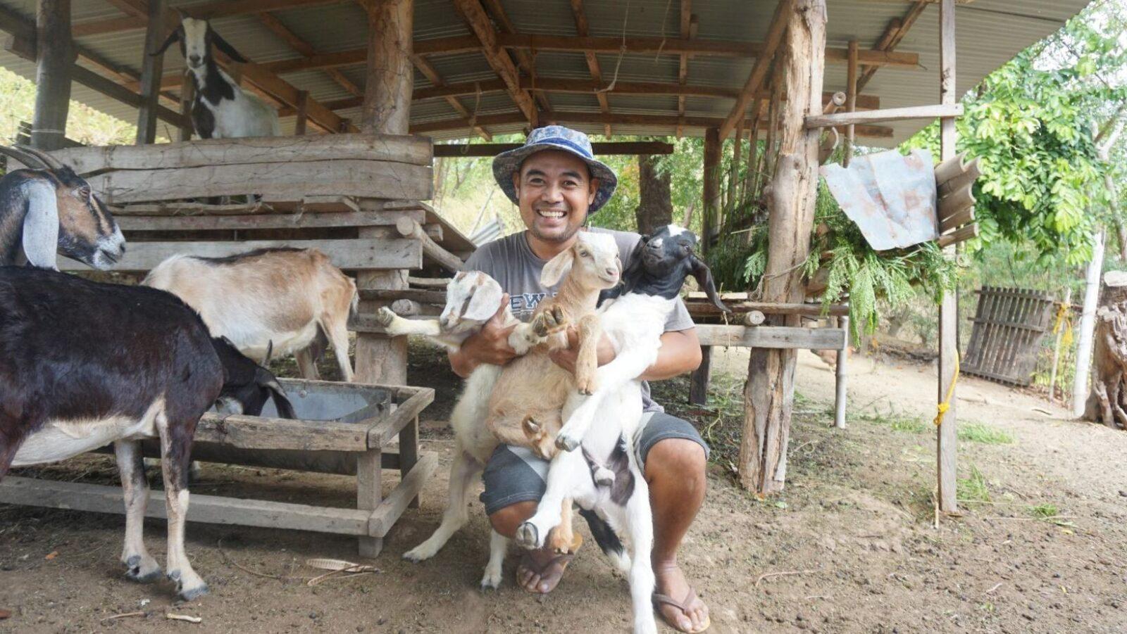
Due to its geographical location, the Philippines is among the countries that are most prone to tropical cyclones, particularly in the second half of the year. Based on the monthly tropical cyclone forecast of the Philippine Atmospheric, Geophysical, and Astronomical Services Administration (DOST PAGASA), we can expect up to 13 cyclones between now and the end of 2020.
Just in time for the rainy season’s arrival, researchers from the Department of Science and Technology (DOST) and the University of the Philippines Institute of Civil Engineering (UP-ICE) developed severe wind hazard maps for susceptible buildings in different parts of the archipelago.
Assessing severe wind hazard and risk
Researchers who were part of the Severe Wind Hazard and Risk Assessment for Cebu City program compiled information on exposure, vulnerability, and hazard levels of different types of buildings against strong wind. Funded by DOST and coordinating with the Philippine Council for Industry, Energy and Emerging Technology Research and Development (DOST PCIEERD), the researchers developed the database to provide crucial information that will improve the efficiency of local disaster response teams.

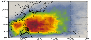
PAGASA’s research team developed severe wind maps for 78 provinces and local wind hazard maps for 41 provinces, taking terrain and other local topographic factors into consideration. The team also developed a risk exposure database for 2,600 buildings in Cebu City. With this information, local chief executives can adequately prepare for the effects of strong winds in their area.

Meanwhile, UP-ICE’s researchers are working on a building vulnerability classification system. This will classify structures based on how susceptible they are to damage in the face of severe winds.
Mitigating the impact of local disasters
“We hope these hazard maps can equip our local disaster mitigation officers in preparing, planning, responding, and mitigating hazards that are brought about by strong winds of tropical cyclones,” said DOST PCIEERD Executive Director Dr. Enrico Paringit. “As leader and partner in enabling innovations, we shall continue to provide solutions and opportunities that can help the Filipino people cope with the challenges of natural disasters.”
Paringit added that the severe wind hazard maps will soon be made available to LGUs for disaster preparedness and mitigation.


Author: Mikael Angelo Francisco
Bitten by the science writing bug, Mikael has years of writing and editorial experience under his belt. As the editor-in-chief of FlipScience, Mikael has sworn to help make science more fun and interesting for geeky readers and casual audiences alike.